- Welkom bij Meteo Service Forum.

Recente berichten
#21
Het weer in het algemeen / Lente discussietopic 2024
Laatste bericht door TMCThomas - vr 24 mei 2024 - 12:22Helaas zijn de warme leden weer verdwenen, stabiel zomers weer lijkt er helaas nog niet in te zitten. Steevast zien we op een of andere manier lagedruk in onze regio terugkomen.
#22
Onweerskansen / Onweerskansen 2024 - Algemene...
Laatste bericht door flyineddy - vr 24 mei 2024 - 12:16ESTOFEX komt ook met een Level 1 voor noordoost Nederland en een Level 2 voor het uiterste oost-noordoosten van Nederland, met name voor veel neerslag en een kleine kans op tornado's:
Je hebt geen rechten om deze bijlage te bekijken.
Eddy.
Je hebt geen rechten om deze bijlage te bekijken.
CiteerA level 1 and level 2 are issued for the Netherlands, central to E Germany mainly for excessive convective rainfall and to a lesser degree for tornadoes.
DISCUSSION
... central Europe between central France, BeNeLux, Germany, Poland, the Baltic States, Romania and the Alps ...
Despite rather poor lapse rates, the rich low-level moisture is "recycled" into low to moderate CAPE (up to 1000 J/kg, locally more along convergence zones and/or delayed vertical mixing) and allows another round of scattered to widespread, daytime-driven thunderstorms. Under mostly weak vertical wind shear, single cells, multicells and loosely organized clusters are the expected convective modes, and excessive rain is clearly the main hazard. The highest storm coverage is expected at the forward flank of a small cyclone over central Germany, where faint warm air advection and positive vorticity advection create synoptic lift that overlaps with moderate CAPE from Hungary into the Netherlands. This belt is therefore covered by a level 2. In contrast, clouds and rain as well as low-level stabilization quench thunderstorm activity at the cyclone's rear flank across the SW half of Germany.
Marginally large hail, copious amounts of small hail and localized severe wind gusts are secondary hazards, especially from Austria, the Czech Republic and central Poland east- and southward, where lapse rates are slightly steeper and capping is slightly stronger, allowing higher CAPE and therefore more discrete storms. The same applies to the eastern level 1 area across the W Ukraine, W Belarus and NE Poland, where a lack of synoptic lift in vicinity of the blocking anticyclone keeps thunderstorm coverage lower.
Low cloud bases and pronounced low-level convergence can also allow the spin-up of a few short-lived tornadoes, most notably at the nose of the warm air advection regimes across the Netherlands and NW Germany, where low-level wind profiles are best with 0-1 km shear around 10 m/s and pronounced low-level veering. A lack of insolation may be a limiting factor, though. Slightly enhanced tornado possibilities also stretch further along the most pronounced convergence zone across central Germany and Bohemia into E Austria.
Eddy.
#23
Onweerskansen / Onweerskansen 2024 - Algemene...
Laatste bericht door Armand - vr 24 mei 2024 - 10:19Nog even een korte update, we zien momenteel het buiengebied het zuidoosten van het land binnentrekken. Alhier is het ronduit koel met amper 13 graden in de stromende regen. Dit gebied met buiige regen trekt vandaag verder over de zuidelijke helft van het land. De noordelijke helft zit in de warmere lucht en hier zullen in de loop van de dag stevige (onweers)buien ontstaan. Grootste risico is opnieuw wateroverlast.
De buien boven de noordelijke helft kunnen pieken met lokaal 20mm/uur. In totaal kan er dan gemakkelijk 40mm vallen, lokaal wel meer. Harmonie komt zelfs met uitschieters tot 70-80mm! Een ander aandachtspunt is de neerslaghoeveelheid in het zuid(oosten). In het buiengebied ontstaat namelijk een lagedrukgebiedje, waardoor de neerslag in het zuiden gaat indraaien en daardoor langdurig kan blijven hangen. Hierdoor zijn in totaal ook neerslagsommen van 40mm of lokaal zelfs wat meer mogelijk:

Dus zowel in het noorden als in het zuiden kan er mogelijk behoorlijk veel regen vallen, met wellicht wateroverlast.
De buien boven de noordelijke helft kunnen pieken met lokaal 20mm/uur. In totaal kan er dan gemakkelijk 40mm vallen, lokaal wel meer. Harmonie komt zelfs met uitschieters tot 70-80mm! Een ander aandachtspunt is de neerslaghoeveelheid in het zuid(oosten). In het buiengebied ontstaat namelijk een lagedrukgebiedje, waardoor de neerslag in het zuiden gaat indraaien en daardoor langdurig kan blijven hangen. Hierdoor zijn in totaal ook neerslagsommen van 40mm of lokaal zelfs wat meer mogelijk:
Dus zowel in het noorden als in het zuiden kan er mogelijk behoorlijk veel regen vallen, met wellicht wateroverlast.
#24
Onweerskansen / Onweerskansen 2024 - Algemene...
Laatste bericht door flyineddy - do 23 mei 2024 - 02:00De onweerskansen zijn nog niet verkeken.
Allereerst is er komende middag kans op een bui. EC geeft hier volgens de KNMI Guidance ook enkele ontladingen op. Harmonie doet niet mee, dus kans is klein.
Vrijdagmiddag is er mogelijk een serieuzere kans. Deze kans lijkt op die van dinsdag waarbij vanuit het zuidoosten (onweers)buien over het land trekken. Zoals het nu lijkt in Harmonie wel iets verder noordelijk. Dit zegt de Guidance Meerdaagse erover (in de gewone Guidance wordt vrijdag nog niet genoemd):
Ik vraag mij echter wel af of de buien net zo intensief zullen zijn als dinsdag. Ze lijken mij namelijk eerder op de dag te komen, met lagere temperaturen. Maar de situatie kan nog veranderen, dus nog even afwachten.
Neerslagkaartje van de Harmonie43 21z run:
Je hebt geen rechten om deze bijlage te bekijken.
Edit 4:50uur:
Inmiddels wordt vrijdag wel meegenomen in de Guidance en die bevestigt mijn verhaal hier boven. Zie hier de relevante stukken:
Eddy.
Allereerst is er komende middag kans op een bui. EC geeft hier volgens de KNMI Guidance ook enkele ontladingen op. Harmonie doet niet mee, dus kans is klein.
Vrijdagmiddag is er mogelijk een serieuzere kans. Deze kans lijkt op die van dinsdag waarbij vanuit het zuidoosten (onweers)buien over het land trekken. Zoals het nu lijkt in Harmonie wel iets verder noordelijk. Dit zegt de Guidance Meerdaagse erover (in de gewone Guidance wordt vrijdag nog niet genoemd):
CiteerModelbeoordeling en onzekerheden:
Tot halverwege volgende week blijft het wisselvallig, waarbij er vooral komende vrijdag en zaterdag weer veel neerslag kan vallen. De situatie dan lijkt wat op die van gisteren, waarbij er een omvangrijk buiencomplex vanuit het zuidoosten over het land trekt. Waarschijnlijk valt er in totaal op beide dagen ruim 20 mm met ongeveer 30% kans op 40 mm, maar gezien het buiige karakter kan er plaatselijk nog meer vallen.
Ik vraag mij echter wel af of de buien net zo intensief zullen zijn als dinsdag. Ze lijken mij namelijk eerder op de dag te komen, met lagere temperaturen. Maar de situatie kan nog veranderen, dus nog even afwachten.
Neerslagkaartje van de Harmonie43 21z run:
Je hebt geen rechten om deze bijlage te bekijken.
Edit 4:50uur:
Inmiddels wordt vrijdag wel meegenomen in de Guidance en die bevestigt mijn verhaal hier boven. Zie hier de relevante stukken:
CiteerDe buien van vrijdag zijn goed georganiseerd. Voor het buiencomplex ontstaat er (op outflow) later in de ochtend in het (zuid)oosten al de eerste buien. Deze eerste buien zullen waarschijnlijk het felst zijn met onweer en plaatselijk hagel. Echt stevige windstoten zien we niet, maximaal 25 kn. De situatie lijkt redelijk op die van afgelopen dinsdag, alleen (voorlopig) een fractie minder heftig. Code geel zit er echter vrijwel zeker in gezien de combinatie van (fel) onweer, hagel en vooral weer veel neerslag in korte tijd. Plaatselijk is 40 mm/24h niet uitgesloten.
CiteerNeerslag:
Vanmiddag/avond een enkele bui. CAPE-waardes 300-700 J/kg volgens EC, Harmonies hoger. Effectieve schering is gering en ligt rond 10-15 kn. Voornamelijk single cells. Vrijdag zijn de CAPE-waardes een fractie hoger. Effectieve schering vrijdag beduidend hoger: rond 20 kn, voornamelijk multicell. Plaatselijk kan er vrijdag 20-30 mm vallen, zeer lokaal mogelijk 40 mm. EC PW is 26-28 mm.
Eddy.
#25
Plaats hier jouw eigen weerfoto's / Thomas' Foto Topic
Laatste bericht door TMCThomas - do 23 mei 2024 - 00:10
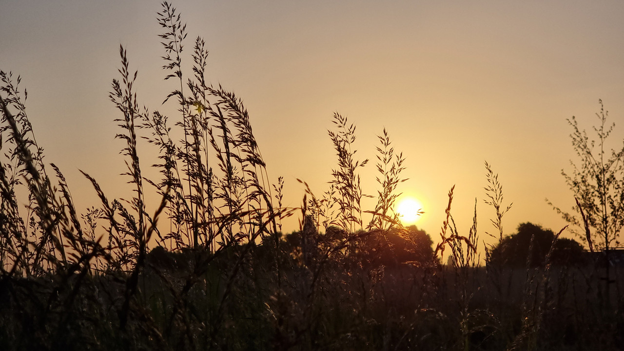
25-05-2023
#26
Het weer in het algemeen / Lente discussietopic 2024
Laatste bericht door TMCThomas - do 23 mei 2024 - 00:06Gemiddeld gezien is weinig veranderd aan de pluim, wisselvallig weerbeeld zet zich vooralsnog voort. Op termijn komen de opers van zowel EC als GFS wel met interessante kaarten. Beide gaan voor warm zomerweer waarbij het scenario van EC wat bestendiger is. In het geval van EC zijn de cape waarde ook interessant, met lokaal meer dan 4500 j/kg beschikbaar tijdens deze hitte periode. Helaas allemaal nog ver weg en met maar weinig ondersteuning van andere leden.
#27
Het weer in het algemeen / Lente discussietopic 2024
Laatste bericht door Koen-IJM - wo 22 mei 2024 - 11:44Het had ook zomaar een kaartje uit de herfst kunnen zijn... Wat een neerslag is er al weer gevallen in mei. Dat gezegd te hebben valt het in de noordelijke provincies allemaal wel mee, het zuiden daarentegen...
Momenteel is 2024 (veruit) koploper wat betreft neerslag sinds 1 januari. Leuk feitje: dit jaar kan nu al niet meer het droogste jaar ooit worden.
Laten we hopen op drogere tijden en een mooie (sport)zomer!
Eerst nog even doorbijten want de volgende plons regen staat overigens voor vrijdagavond/nacht op zaterdag in de kaarten.
Bron van de tabel: weerstatistieken.nl
#28
Onweerskansen / Onweerskansen 2024 - Algemene...
Laatste bericht door flyineddy - wo 22 mei 2024 - 02:16Afgelopen middag wat vroeger van mijn werk in Hoogeveen weggegaan en uiteindelijk een rondje IJsselmeer gemaakt.
Dikke shelfclouds gezien bij Almere, Den Helder, Steenwijk en Hoogeveen.
Dit is net ten zuiden van Den Helder:
Je hebt geen rechten om deze bijlage te bekijken.
Eddy.
Dikke shelfclouds gezien bij Almere, Den Helder, Steenwijk en Hoogeveen.
Dit is net ten zuiden van Den Helder:
Je hebt geen rechten om deze bijlage te bekijken.
Eddy.
#29
Onweerskansen / Onweerskansen 2024 - Algemene...
Laatste bericht door Joep - di 21 mei 2024 - 21:54Naast mijn gewone werk heb ik een uit de hand gelopen hobby en dat is pompoenen kweken. Afgelopen weekend 1500 planten gezet en tot mijn schrik stond het hele land blank begin vd avond. Inmiddels 41 mm afgetapt. Samen met mijn zoon hele avond sleuven gegraven. Loopt nu redelijk weg maar er komt helaas nog genoeg aan....
#30
Onweerskansen / Onweerskansen 2024 - Algemene...
Laatste bericht door boxer - di 21 mei 2024 - 21:32Mooie Shelfcloud vanavond
Powered by EzPortal