- Welkom bij Meteo Service Forum.

Recente berichten
#41
Onweerskansen / Onweerskansen 2024 - Algemene...
Laatste bericht door Unknown-user1778 - do 02 mei 2024 - 17:55Best een bijzondere situatie. De westwind vanuit de zee heeft het zuidoosten al veroverd en vanuit het oosten komt het flinke ostgewitter eroverheen denderen. De verkoeling kwam dus niet van de onweersbui zoals meestal maar het slaat precies boven ons op elkaar.  nu genieten van de onweershow! Ostgewitter ftw
nu genieten van de onweershow! Ostgewitter ftw #42
Onweerskansen / Onweerskansen 2024 - Algemene...
Laatste bericht door MrBouwny - do 02 mei 2024 - 17:20Net vanuit Putten rotatie gezien aan de achterzijde van bui boven Nijkerk
#43
Het weer in het algemeen / Lente discussietopic 2024
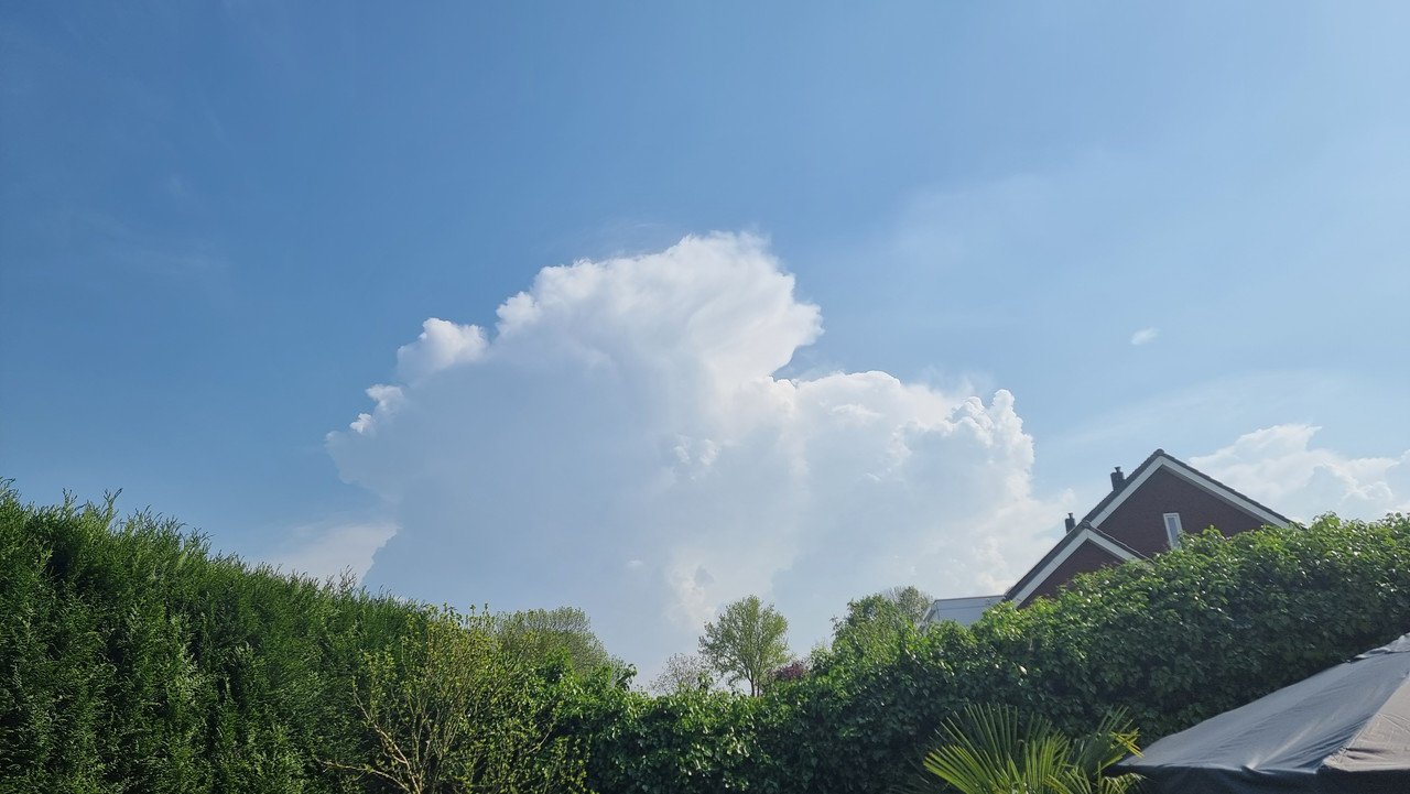
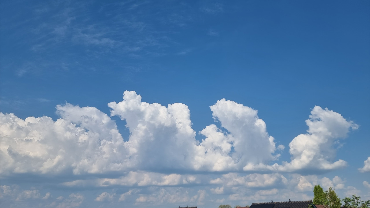
Laatste bericht door TMCThomas - do 02 mei 2024 - 16:44Mooie wolkenluchten momenteel!
#44
Onweerskansen / Onweerskansen 2024 - Algemene...
Laatste bericht door Joep - do 02 mei 2024 - 16:30Wat een verschillen in NL
Vlissingen nu 12,8 met wind van zee, oosten is het 26+
Vlissingen nu 12,8 met wind van zee, oosten is het 26+
#45
Onweerskansen / Onweerskansen 2024 - Algemene...
Laatste bericht door Joep - do 02 mei 2024 - 16:27Boven Utrecht nu ook een onweersbuien
#46
Onweerskansen / Onweerskansen 2024 - Algemene...
Laatste bericht door flyineddy - do 02 mei 2024 - 15:33Citaat van: Armand op do 02 mei 2024 - 15:04Ik ben benieuwd, de eerste buien zijn nu ontstaan in het westen van Duitsland. Ook op de convergentielijn die momenteel boven Noord-Brabant en Noord-Limburg ligt, begint er wat te ploffen op moment van typen. Het zal een typisch 'pulse-storm zooitje' gaan worden, waarbij buien uit het niets kunnen ontstaan en meestal ook kort leven en weer inzakken. Op de outflow kunnen vervolgens weer nieuwe buien tot leven komen. Dit levert uiteindelijk een grote cluster op waar buien zullen ontpoppen en verdwijnen. Het gevaar bij dit soort situaties zit in de neerslaghoeveelheden, zeker vanwege de lage treksnelheid. Zo'n bui kan boven dezelfde plek helemaal leegregenen. Neerslaghoeveelheden van >50mm op enkele uren zijn dan best mogelijk.
Doet mij een beetje denken aan de situatie van 7 juni 2016. Een strakke convergentielijn lag van Limburg tot aan Hamburg. Daarop ontstonden in de middag stevige pulse storms. Stond toen bijna helemaal geen stroming en de convergentielijn lag ook helemaal stil, dus het was een paar honderd kilometer lange lijn aan pulse storms. Alleen op de outflow, met name naar het noorden zag je steeds nieuwe buien ontstaan, waardoor de buienlijn een stoort copy-paste leek te doen naar het noorden. Toen ook wateroverlast in Limburg.
Timelapse video van buienradar van die dag:
Eddy.
#47
Onweerskansen / Onweerskansen 2024 - Algemene...
Laatste bericht door Armand - do 02 mei 2024 - 15:04Ik ben benieuwd, de eerste buien zijn nu ontstaan in het westen van Duitsland. Ook op de convergentielijn die momenteel boven Noord-Brabant en Noord-Limburg ligt, begint er wat te ploffen op moment van typen. Het zal een typisch 'pulse-storm zooitje' gaan worden, waarbij buien uit het niets kunnen ontstaan en meestal ook kort leven en weer inzakken. Op de outflow kunnen vervolgens weer nieuwe buien tot leven komen. Dit levert uiteindelijk een grote cluster op waar buien zullen ontpoppen en verdwijnen. Het gevaar bij dit soort situaties zit in de neerslaghoeveelheden, zeker vanwege de lage treksnelheid. Zo'n bui kan boven dezelfde plek helemaal leegregenen. Neerslaghoeveelheden van >50mm op enkele uren zijn dan best mogelijk.
#48
Onweerskansen / Onweerskansen 2024 - Algemene...
Laatste bericht door flyineddy - do 02 mei 2024 - 14:40Mesoscale Discussion van ESTOFEX voor west Duitsland en zuidoost Nederland:
Je hebt geen rechten om deze bijlage te bekijken.
Eddy.
Je hebt geen rechten om deze bijlage te bekijken.
CiteerMesoscale Discussion
Valid: Thu 02 May 2024 12:00 to Thu 02 May 2024 15:00 UTC
Issued: Thu 02 May 2024 12:16
Forecaster: TUSCHY
This Mesoscale Discussion was issued to highlight the augmented heavy rainfall risk accompanied by DMC activity over parts of W-CNTRL Germany into Belgium.
Time frame: 12Z - 00Z
The environment is prime for clustering convection which evolves along an extensive low-tropospheric low pressure channel, highlighted in latest synop/wind data. This convergence runs from Belgium SE well into CNTRL Germany.
Overall airmass quality is marginal for widespread excessive rain, but some feeding of mid-level moisture occurs from the SE into the area of concern, both highlighted in EZMWF EFI charts and layered PW products (with different weighting of the moist layers). Latest AMDARs show some weakly capped loaded-gun ascents in the MD area with imminent CI (or already underway).
Slow moving storms tend to grow upscale rather fast but forecast hodographs also feature some healthy 20 kt SR inflow with good streamwiseness, so transient rotating storms are possible with a low-end and short-lived tornado event.
The main risk will be heavy rain, probably maximized along/just ahead of the NE/E-ward marching convergence zone, where E-erly BL winds enlarge LL hodographs, a bit more favorable for temporal training/back-building. So more organized updrafts could partially offset more low-end environmental PWs with enhanced rainfall rates = augmented flash flood risk.
Betimes, with a structuring LL depression somewhere along that low-pressure channel a gradual change from convective to more stratiform precipitation occurs with ongoing healthy amounts over W-CNTRL Germany.
Further S into SW Germany, a few flash flood producing storms are also underway, but more progressive nature of the convergence zone should keep this risk more isolated and short-lived.
Eddy.
#49
Onweerskansen / Onweerskansen 2024 - Algemene...
Laatste bericht door Joep - do 02 mei 2024 - 09:21Synoptische situatie:
Ons land bevindt zich in warme en vochtige lucht. Een langgerekt thermisch lagedrukgebied van Zuid-Engeland naar Zuid-Duitsland via het zuiden van ons land trekt noordwaarts. In de nacht naar vrijdag passeert de as van dit laag het noorden van het land. Nabij deze as bevindt zich het thetaw850-maximum als gevolg van convergentie van vocht. Een W-O georiënteerd koufront bevindt zich ten zuiden van het laag en bereikt in de nacht naar vrijdag het zuiden. Het front bevindt zich rond thetaw850=13°C, maar aan de grond stroomt al veel eerder koelere lucht binnen als gevolg van het aanlandig worden van de wind na passage van de as van het laag. Vrijdagmiddag passeert het koufront het noorden van het land om vervolgens boven zee te stagneren. In de nacht naar vrijdag trekt op 500 hPa een kortgolvige ZW-NO georiënteerde hoogtetrog van zuidoost naar noordwest. Gedurende het noordwaarts trekken van de as van het laag en koufront zien we dat de hoofdkern van het laag aanvankelijk van België naar Duitsland trekt, maar uiteindelijk westwaarts naar Engeland verplaatst. Het koufront krult hier aan de onderkant geleidelijk omheen, waardoor de oriëntatie meer WZW-ONO wordt.
Modelbeoordeling:
Ook vandaag is convectie een belangrijk aandachtspunt, met het arriveren van het thermische laag kan dan grootschaliger onweer voorkomen. Wegens de vochtigere lucht is dan veel neerslag mogelijk (20-40 mm), maar de windstoten zullen dan minder fors zijn. Uiteraard zit er nog variatie in de modeluitvoer, al stemmen modellen stemmen redelijk overeen v.w.b. de regio's en timing. Eind van de middag en avond met name in het zuiden en midden van het land. Ander aandachtspunt is de lage bewolking (mogelijk mist) die in en op de zuidflank van het laag aanwezig is en met het noordwaarts trekken van het laag ook boven ons land kan gaan voorkomen.
Neerslag:
Actueel boven het zuiden van de Noordzee enkele onweersbuien. Later kunnen er al enkele buien boven het zuiden van het land ontstaan. Vanavond in de Harmonies nog hoge CAPE-waarden in het midden en zuiden met 2000 J/kg, EC iets lager. Harmonie zit meestal veel te hoog. Dan schering een fractie hoger dan gisteren, in de bovenlucht ook iets meer forcering. Voornamelijk multicell-regime. Dan ook hagel en windstoten, maar vooral plaatselijk veel regen. Harmonies komen plaatselijk op meer dan 40 mm. Bij het koufront regen. Harmonie suggereert dat de meeste regen bij het koufront westwaarts wegtrekt, terwijl EC dit veel later doet. Omdat EC vaak beter is in situaties met stratiforme regen geven we hier meer gewicht aan.
#50
Het weer in het algemeen / Lente discussietopic 2024
Laatste bericht door Unknown-user1778 - wo 01 mei 2024 - 20:26Citaat van: Mdelaat97 op wo 01 mei 2024 - 20:01Ik zit helaas niet in Reusel momenteel maar daar trekt een zeer stevige onweersbui over! Als ik mijn familie mag geloven een van de zwaarste onweersbuien van afgelopen jaren bij hen!is Ostgewitter. zoals ik van de week al schreef. dat beleeft zich altijd heel heftig met flinke knallen.
Powered by EzPortal